Partners & Collaborators - Consultants
LGC works closely with other companies and agencies to provide a full spectrum of geological services. Partners come from all industries. Click a logo to visit a partner company’s website (where they have one).
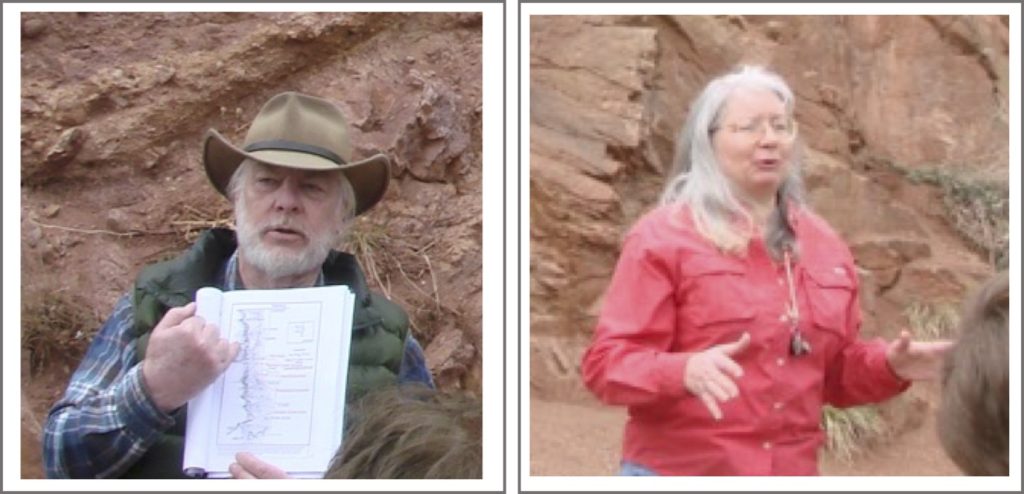
Thomas Fisher & Lisa Fisher
Exploration & Development Geologists
Thom and Lisa Fisher are the owners and principal geologists for several consulting firms, among which are Escalante Mines, Inc., Tomassuk Natural Resources, LLC, and Thunder Basin Energy, LLC. Their primary focus is the exploration and development of both minerals/mining and oil/gas projects. Current prospects are located in Colorado, New Mexico, Utah, and Wyoming. Thom’s background is primarily in sedimentary geology, particularly with respect to stratigraphy of the Cretaceous Western Interior Basin from New Mexico to Montana. He has also worked in the Permian Basin of New Mexico and Texas. Lisa is an expert in igneous and metamorphic petrology, with a focus on the Precambrian System of the Colorado Front Range.


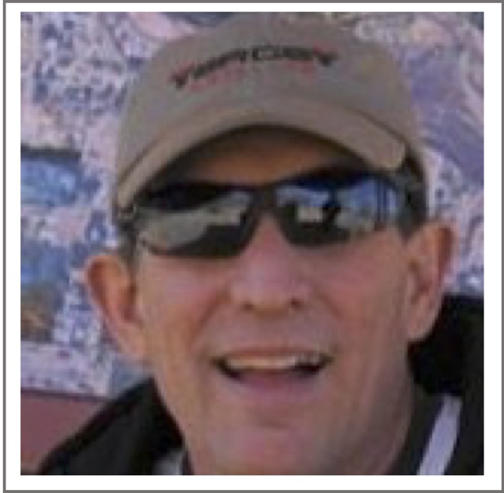
Mark Bunnell
Senior Geologist
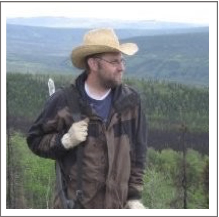
Mark is owner of Bunnell Geoconsulting, PLLC and spent nearly 40 years as a senior geologist at the Sufco, Skyline, and Dugout Canyon coal mines in the Wasatch Plateau and Book Cliffs, Utah, retiring as the Sufco mine’s chief geologist. His areas of expertise include surface and underground coal exploration, underground directional drilling, underground mapping and sampling, coal quality modeling and projection, ground control mapping and design, and coal resource estimation. Mark is involved with LGC in a study to better define stratigraphy of the Star Point and Blackhawk Formations in the Wasatch Plateau, with an emphasis on mapping and correlating the Hiawatha coal seam.
Tyson Forbush
Geochemist/Resource Geologist
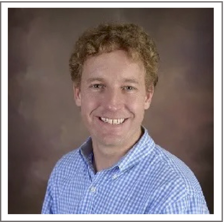
Tyson is a resource geologist/ geochemist and owner of GeoTech, LLC. His primary expertise is exploration and development of multi-metallic skarn and epithermal gold deposits, with additional experience in geothermal systems. His services include geological field mapping, geochemical and geophysical analyses, drilling and soil program design and execution, core logging and sampling, digitizing and mapping of historical mine and prospect data, and the design and construction of onsite geological field laboratories.

David F. Alden, PE
Civil Engineer & Geohydrologist
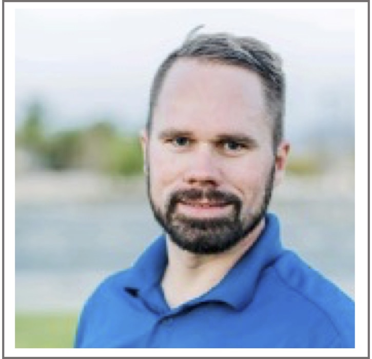
David is an engineer and technical support manager with Tersus Environmental, focused on the remediation of complex soil and groundwater sites impacted by non-aqueous phase liquids, particularly with respect to surfactant-enhanced processes, in situ bioremediation, and chemical oxidation.
Forrest Sim
Shallow Subsurface Geophysicist
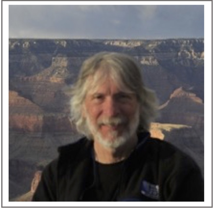
Forest is the owner of Enhanced Scanning and Founder of the GPR Consortium. His expertise lies in locating underground phenomena from cables to unexploded ordinance, septic tanks, lava tubes, and occasionally gold through the use of 3D ground-penetrating radar, electromagnetic conductivity, ultrasonic crack depth estimation, terrestrial LiDAR scanning, and other methods. GPR Consortium is an international trade association that promotes global collaboration among GPR professionals to solve problems and enhance best practices.
Bruce Manchon
Senior Hydrogeologist
Bruce is a senior hydrogeologist and owner of Janeil Environmental Solutions. He has over 35 years of experience in the environmental industry conducting project and technical management, well site/field geology, oversight of RI/FS, remediation, and hydrogeologic evaluations of remedial programs, including collecting ground water samples to extensive hydrostratigraphic analyses to define the effects of hydrogeology on contaminant fate and transport, and contaminant recovery for vadose and saturated zone remediation programs. Bruce offers training on the application of borehole geophysical logging and direct push technology to environmental remediation
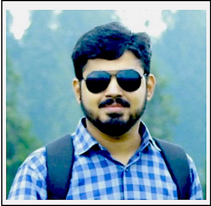
Zaheer Ul Islam
Geologist/Grouting Engineer
Zaheer is a contract geologist/geological engineer involved with construction of a flood-control dam in the Adawnib Valley of Oman. His responsibilities include managing/supervising geological data collection, field testing, drilling, and grouting procedures, as well as conducting geological mapping. He also has experience executing surveys pertaining to soil mechanics. Along with his professional roles, Zaheer performs independent consulting both as a geologist and a social media manager. He founded and actively administers the Earth Science Institute to bring about collaborative networking opportunities for professional geologists, members of academia, and students.
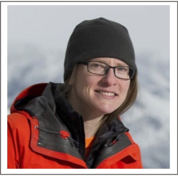
Esther Babcock
Geophysicist
Esther holds a Ph.D. in geophysics from Boise State University and is owner of Logic Geophysics & Analytics, LLC. She has expertise in near-surface and engineering geophysics (ground-penetrating radar, time-domain electromagnetic methods, resistivity, and seismic surveys), environmental site investigation and policy, and project management. She has applied her expertise to projects involving civil engineering, stratigraphic imaging, concrete evaluation, UXO locations, and ice thickness measurements. Additionally, Esther is a veteran officer and A-10A Thunderbolt II pilot, flying 62 combat missions in Afghanistan during Operation Enduring Freedom.


